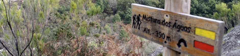
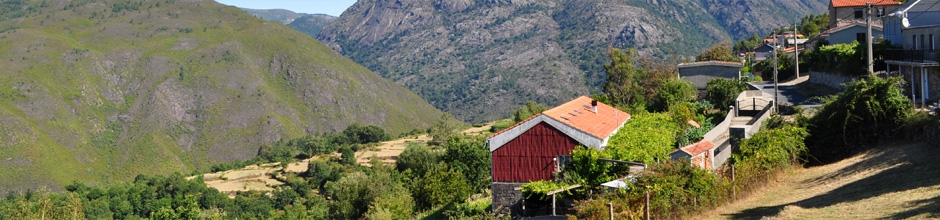
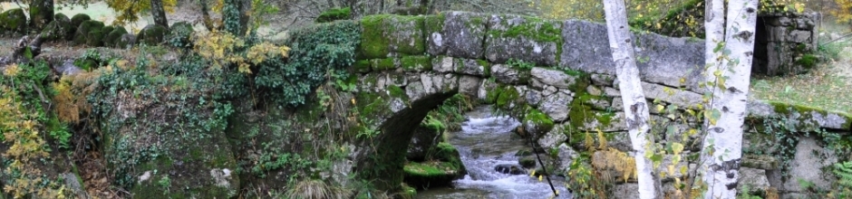
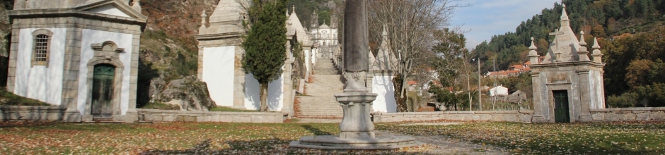
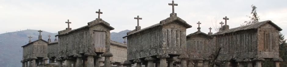
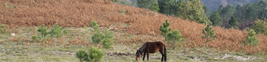
It is the southwestern mountain range of Ourense (southern foothills of Leboreiro, Queguas, Quinxo, Santa Eufemia, Cruz de Piñeiro, Xurés and Pisco), whose nature is mainly granite and which make up a geomorphological and ecological unit together with the neighboring Portuguese mountains (Peneda, Soajo, Amarela y Gerês) and flank the river Limia. In these natural surroundings, in addition to this river and the river Salas, there are plenty of gullies and small water ways that, in certain places, form beautiful waterfalls and pools (such as A Corga da Fecha). The area is also home to the two reservoirs of Lindoso and Salas. Overall, this is a sparsely populated area with few villages and vast uninhabited areas. There are deep topsoils located in the Valley of Riocaldo and the area of Requiás-Guntumil. Here there are crops, meadows and woods, in contrast to the austere rocky landscapes and the step hills that surround them. The altitude is between 125 and 1540 meters above sea level, mostly above 1000 meters. This is the first cross-border park to be declared EUROPARC (Geres-Xurés) by the FNNP.
This area belongs to the Euro-Siberian Region, Atlantic-European province and Cantabrian-Atlantic subprovince, and it forms an exclusive biogeographic sector, the “Juresiano”. The area is a very unique one, since it is located in a transition area between the Euro-Siberian and Mediterranean regions (in this case the eastern Iberian Mediterranean province), whose influence can be observed on the mountain peaks and in the eastern part of this natural surrounding. With regard to the weather, the climatic domains are western oceanic (in the Limia Valley) and mountain oceanic, with an annual average rainfall of 1000 to 2500 mm (depending on the altitude) and an average temperature of 8 to 15 ºC. On the hilltops it often snows and in the eastern part especially cold temperatures can occur.
The orography is extremely rough and fractured, especially in the mountains of Xurés and Santa Eufemia and in the mounts of O Quinxo, with vast rocky places and steep mountains. The mountain ranges of Queguas and Pisco feature a lighter morphology. The area is mainly settled on a granite substrate, formed by nebulite migmatites and granodiorites biotite, on which, in some areas, overlap schistose metamorphosed sedimentary rocks. The glacier and periglacial modeling of these mountains reaches the lowest altitude known in the Iberian Peninsula, reaching the 550 m asl, like for example, the valley of the river Vilameá (or As Sombras), located between 1000 and 1300 m asl, where we can observe lateral and bottom moraines (up to 2 km), as well as a fine example of a glacial valley, which dates back to the Wurm time). Beside these glaciated areas, we can also find great samples of granite morphology, from megaforms such as the so-called ''colinas cóncavas'' (concave hills), ''nubbins'' or rocky domes, rocky ridges and ''tors'' to the countless examples of microforms like "tafone" (cacholas), "gnamma" (pías), flame-forms or pedestal-forms (bolos o pedras cabaleiras), probably the best example of tortured geomorphology of the Park. Moreover, there are different types of Quaternary deposits such as alluvial fans and debris slopes, which are present in the surroundings of the river Caldo in Buscalque (Lobios) and in the area of O Quinxo whereas in the basins of rivers Limia y Caldo it is possible to find sandy alluvial deposits. A famous thermal upwelling is also located in this river.
Source: Xunta de Galicia